srmcmaps.com
Home
About Us
Contact Us
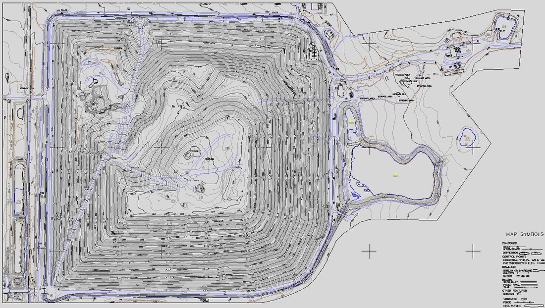
Survey Control
Land Development
GIS Support
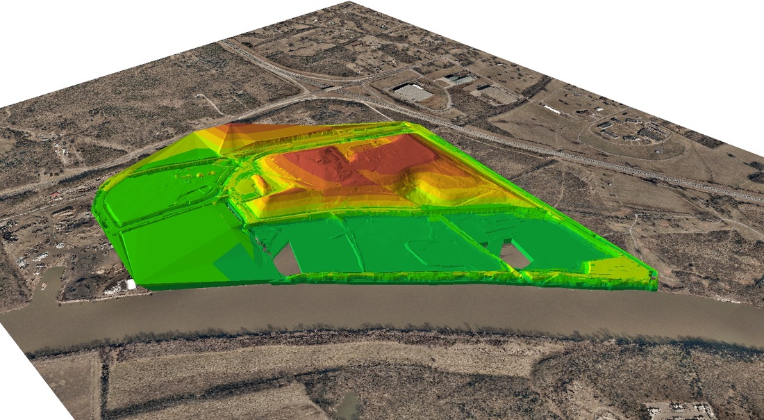
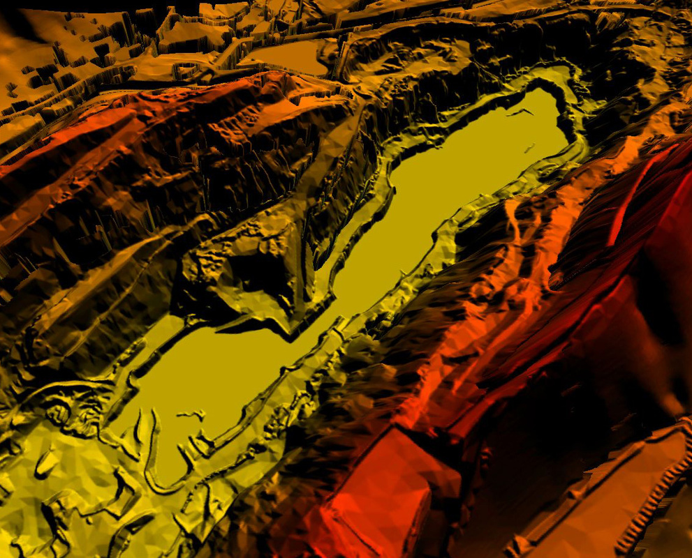
Mining
Forestry
Industry
Urban
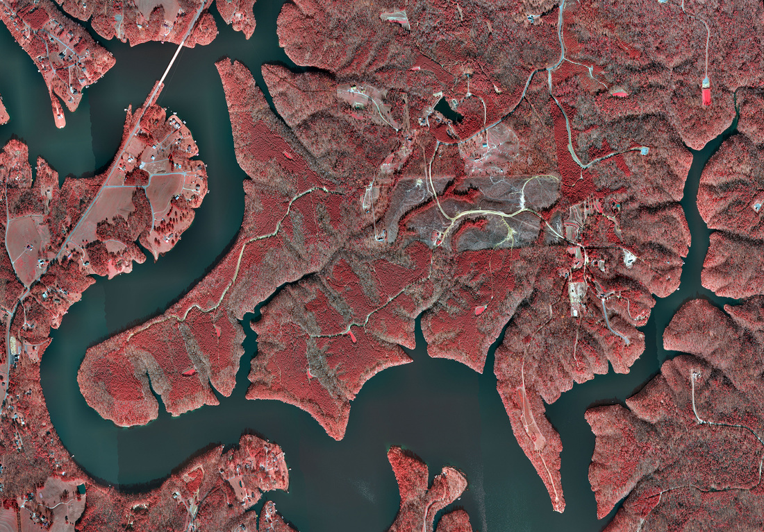
Environment
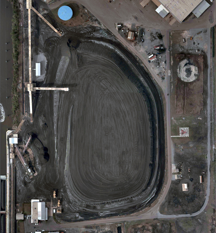
Stockpiles
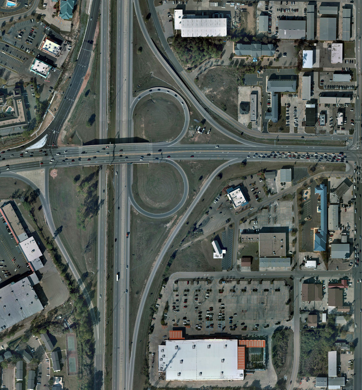
Transportaion
quality.reliability.integrity